
[Source:
Nick Catford]
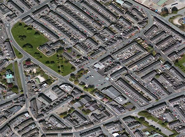 Recent aerial view of Barnoldswick station site. Although nearly all evidence of the station has gone at ground level the original boundaries have been maintained and are identical to the 1962 Ordnance Survey map. The station and goods yard site is now occupied by a Co-Op store and car park while the coal yard is mainly open space.
|

 Home Page