Station Name: BLAENAU DINAS

Overall
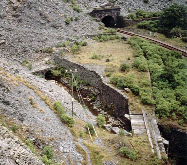
view of the Ffestiniog Railway station site. The line ran towards Porthmadog
over the bridge at the bottom right of the picture. The stream that
this bridge crosses is in fact the trackbed of one of the main tramways
out of Oakely mine. This tramway entered the mine through the portal
just visible to the left of the picture. The southern portal of Ffestiniog
Tunnel is at the top of the picture, with the LNWR line (now the Conwy
Valley Line) leaving it.
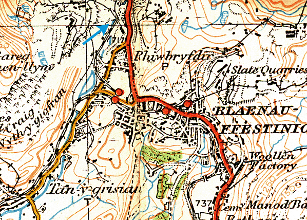
Photo by Tim Watson  This 1921 Ordnance Survey map shows the site of the station only. No map is available showing the station. 
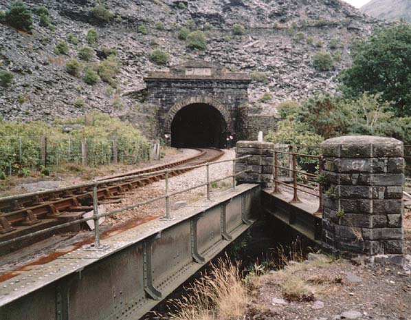
Looking
towards the southern portal of Ffestiniog Tunnel from the site of the
exchange sidings. The bridge on the right used to carry standard gauge
trains into the exchange siding, whilst the bridge on the left carries
the Conwy Valley Line to Blaenau Ffestiniog. The bridges are crossing
the trackbed of one of the main tramways out of Llechwedd mine.
Photo by Tim Watson 
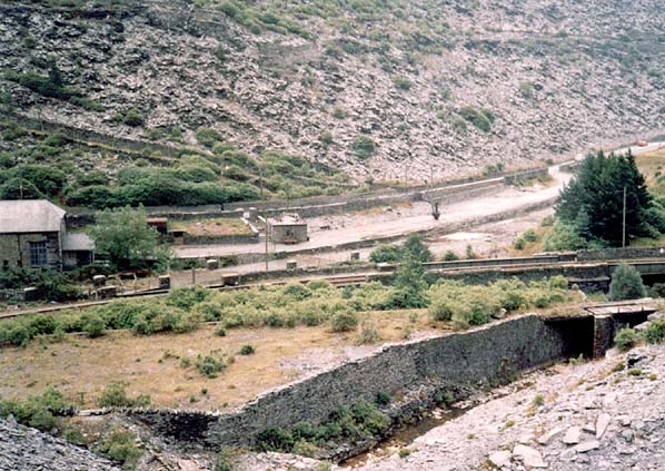
General
view of the area, showing both the Ffestiniog Railway station site
and the exchange sidings the other side of the Conwy Valley Line,
which runs from left to right across the picture. The building at
the extreme left of the picture is a small hydroelectric power station
that used to supply power to Llechwedd mine. The small building just
visible to the right is the weighbridge hut, in front of which sits
a slate wagon on the weighbridge. The small dark upright object barely
visible to the right is a small crane used to handle slates. The sloping
feature on the hillside behind is the remains of the original road
access to Llechwedd mine.
Photo by Tim Watson
 Home Page Home Page
|
