
Station Name: BOW ROAD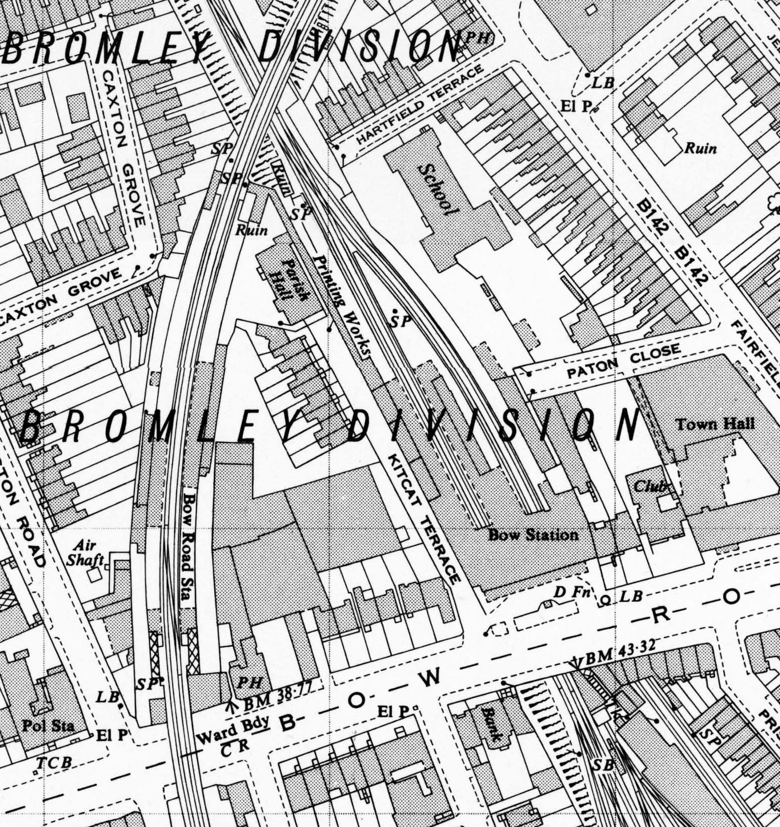 1950 1:2,500 OS map shows Bow Road station in its final form. Although the map was published in 1950 the survey was made in 1948. The platform awnings have been shortened and now only protect the top of the stairs and the platform buildings. The hatching on the stairs indicates a glazed roof. The stairs at the north end of the station and the exchange booking office are shown as a ruin; the covered walkway is still shown. The previous station buildings have gone as have the signal box and crossover. A small building has appeared on the down platform to the north of the platform building.  Home Page Home Page
|