Station Name: BRADFORD ADOLPHUS STREET[Source:
Chris Armour]
Bradford Adolphus Street Station Gallery 2: adolphus_street16.jpg) Btadford Adolphus Street station in October 1970. Although the goods yard didn't officially close until May 1972 it is likely that all traffic ended long before that date. Much of the goods yard has already been demolished.
Photo by MA King street5.jpg)
Demolition of the Adolphus Street trainshed is underway c mid-1970s.
street7.jpg) Many of the goods yard buildings had already been cleared before the contractors
started work on the trainshed. street6.jpg)
Demolition of the trainshed is now nearing completion.
adolphus_street13.jpg)
Looking east along Dryden Street in August 1972. The lower level of the trainshed is seen on the right. The vehicle ramp up to the goods yard is seen beyond. This ramp is now a public footpath up to the
St James wholesale fruit market. Photo by John Mann adolphus_street15.jpg)
The site of Bradford Adolphus street station looking west towards the buffers in August 1972. At track level little remained by this date.
Photo by John Mann 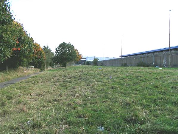
This view is looking north across the east end of the trainshed site in October 2005. Wakefield Road is beyond the trees to the left. When the road was realigned it cut through the west end of the trainshed. The building to the right is St James wholesale fruit market which occupies a 6-acre plot on the site of the goods yard and engine shed and sidings.
Photo by Chris Armour 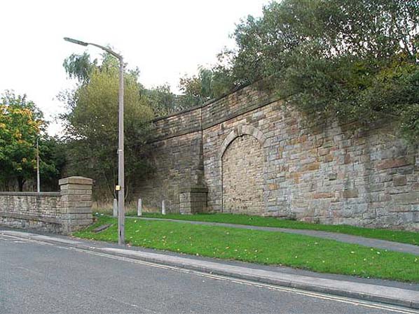
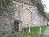
Adolphus Street was raised above the surrounding road with a retaining wall built at its west end. Part of this wall still survives in Dryden Street together with a bricked up entrance, possibly a side entrance to the station. The two stone pillars mark the vehicle entrance the entrance to the goods yard with a ramp up to yard level. There was a weighbridge at the top of the ramp.
Photo by Chris Armour 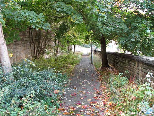 adolphus_street12.jpg)
The coal drops in Dryden Street find new use as car ports in June 2012. The goods yard was above with rails running over the drops.
Photo
by Robert
adolphus_street11.jpg)
adolphus_street10.jpg)
This view is looking north across the east end of the trainshed site in September 2013. The grassed area seen in the 2005 picture above is now an additional car park for the fruit market.
Photo by Bob Dunkley 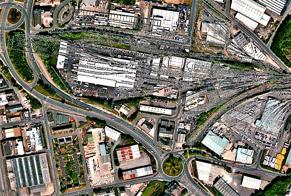 Recent aerial view of the site of Bradford Adolphus Street station and goods depot overlaid with a 1908 OS map of the station. The passenger trainshed is seen top left bisected by the new alignment of Wakefield Road. Click here for a larger version.
Click on thumbnails to enlarge
 Home
Page Home
Page
|
adolphus_street_old_thumb3.jpg)
adolphus_street_old_thumb5.jpg)
adolphus_street_thumb14.jpg)