
Station Name: BRITANNIA[Source:
Alan Young]
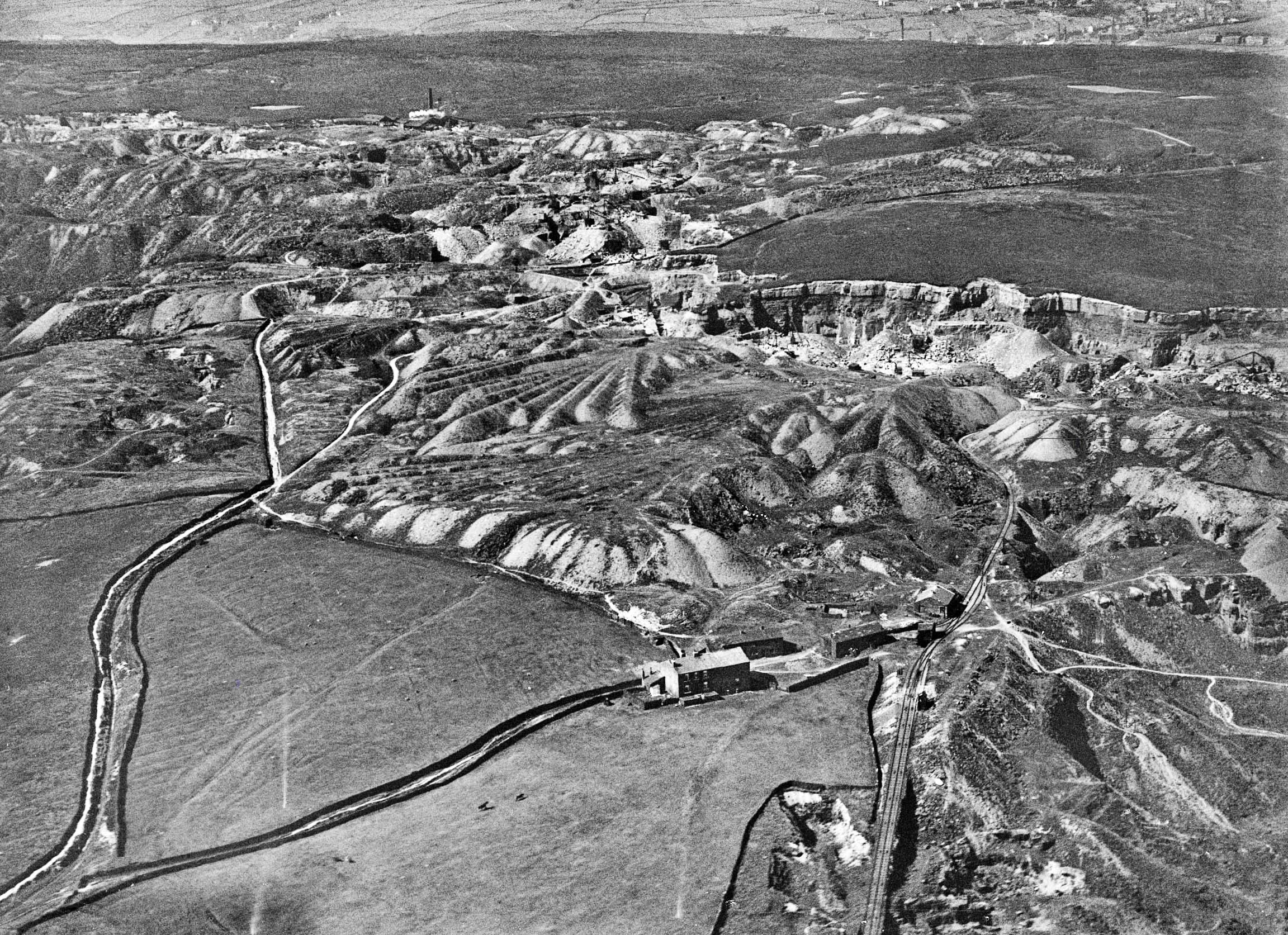
An oblique aerial photograph from August 1926 of the Facit and Britannia quarries on the moor top west of the Facit Branch. North-west is at the top of the photograph. A mineral line is seen entering the photo at the bottom, whilst the line connecting the quarries to Britannia station is visible as the dark line curving, then running straight to leave the image below the top right corner:.
|
 Home Page