
Station Name: CROMER HIGH[Source:
Nick Catford]
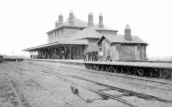 Cromer
High Station shortly after opening. At this time the station only had one platform.
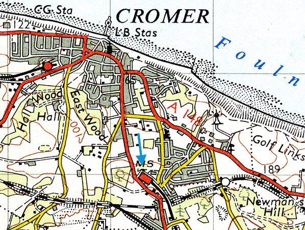 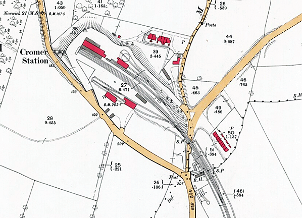 1887 1:2,500 OS map shows the original layout of Cromer station with only one platform. 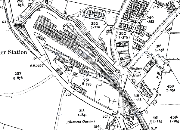 1906 1:2,500 OS map shows a second platform has been added. This required the removal of one of the buildings in the goods yard which appears to have been relocated to the south side of the yard. There has been residential development around Salisbury Road to the north of the station. 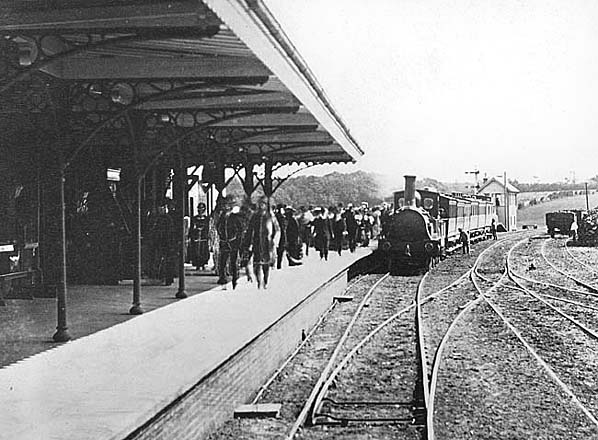 Cromer High Station in the 19th century 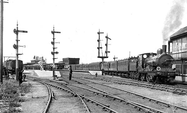 Cromer station in c1908, a second platform has now been provided, Copyright photo from John Alsop collection 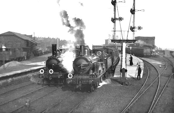 Cromer High Station c1908 Copyright photo from John Alsop collection old1.jpg)
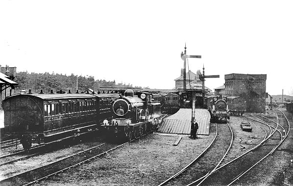 Cromer station before 1923.
Copyright photo from John Alsop collection old19.jpg) Cromer High station in 1954, shortly before closure Photo from John Mann collection 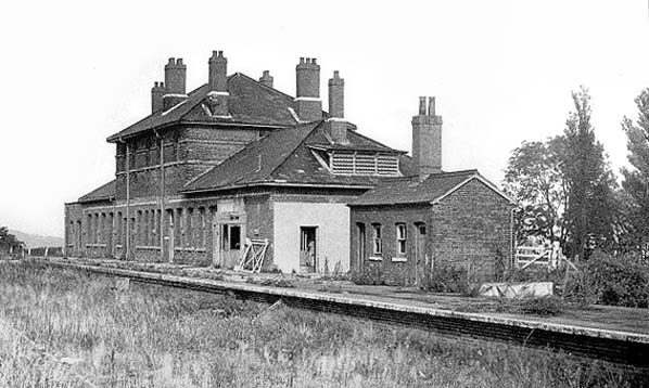
Cromer
High station in the 1960s after closure to goods traffic
high5.jpg) Cromer High station looking east in January 1970. Photo by John Mann 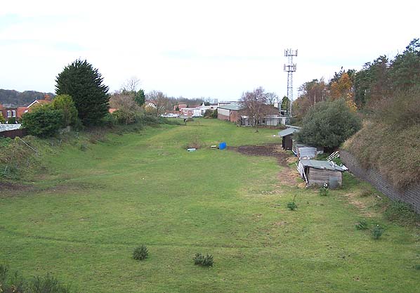
Looking
north west towards the site of Cromer High station in autumn 2005.
Photo by Anthony Weeden 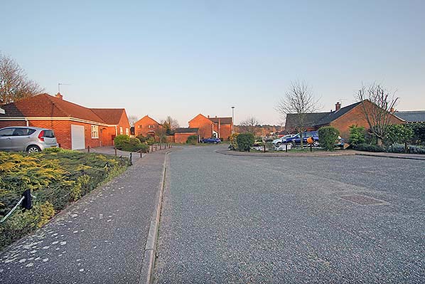
Looking south-east from the site of the station concourse in March 2018.
Photo by Nick Catford
 Home
Page Home
Page
|
 In 1882 the East Norfolk Railway was incorporated into the
Great Eastern Railway who had operated the line from the its
opening. In 1906 a new line was opened from Cromer Junction, G.E.R, just outside Cromer (High) the G.E.R terminus, to join the Norfolk & Suffolk Joint Railway also opened in 1906, at Roughton Road Junction. Passing there a train came shortly to Newstead Lane Junction where a left fork took a G.E.R train around to the west, to Runton West Junction and to Sheringham M&GN and a right fork took N&SJ trains to Runton East Junction and into Cromer (Beach) the M&GN terminus. G.E.R trains only used the route only to go to Sheringham. Two station staff were kept there, one employed by the M&GN, one by the G.E.R. The M & GN station was known as Cromer Beach to distinguish
it from the Great Eastern station.


high_thumbold20.jpg)
high_thumb6.jpg)


