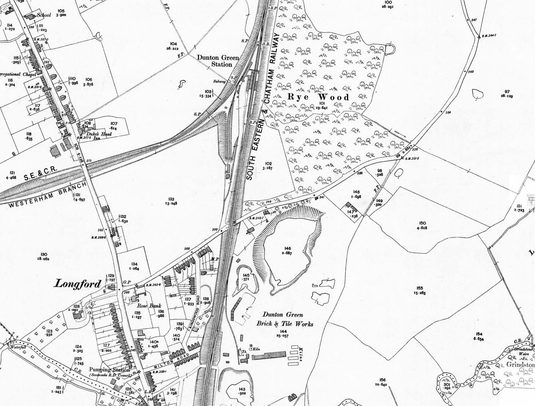
 1909 1:2,500 OS map. Although the signal box and footbridge had been replaced by this date the earlier structures are still shown here. This map is based on the 1896 map above with revisions made in 1907. A third parallel goods siding has now been added. There are two buildings on the south side of the goods yard. The southern of the two buildings is the station master's house. The function of the other building is not known. The building to the east of the Station Road bridge at the bottom of the map is the Railway Tavern. The siding into the Brick and Tile Works to a single line into the works. This would remain in use until 1927. 1909 1:2,500 OS map. Although the signal box and footbridge had been replaced by this date the earlier structures are still shown here. This map is based on the 1896 map above with revisions made in 1907. A third parallel goods siding has now been added. There are two buildings on the south side of the goods yard. The southern of the two buildings is the station master's house. The function of the other building is not known. The building to the east of the Station Road bridge at the bottom of the map is the Railway Tavern. The siding into the Brick and Tile Works to a single line into the works. This would remain in use until 1927.  Home Page Home Page
|