
Earby to Barnoldswick[Source: Ken Geddes & Alan Young]
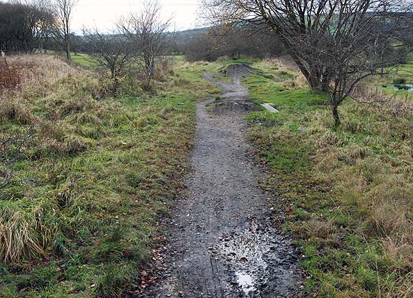 Looking north-west along the Barnoldswick branch.
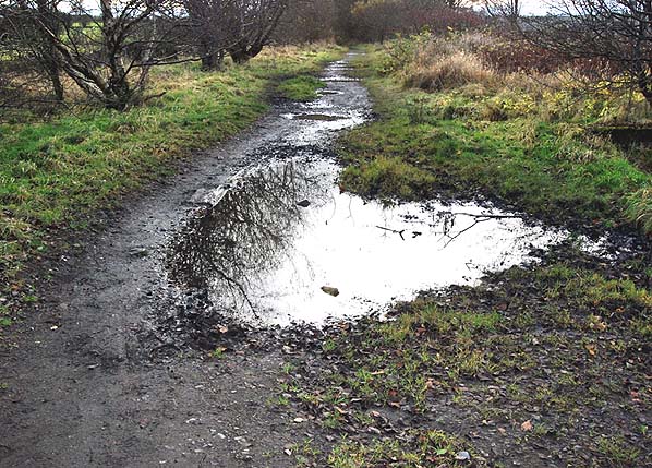 Looking south towards Colne from Barnoldswick Junction. 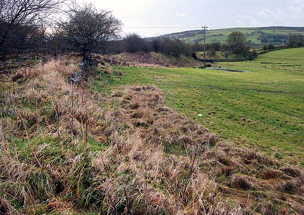
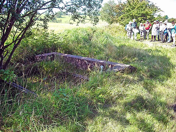
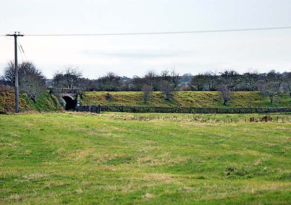
Double bridge taking the Barnoldswick branch over a farm track and the New Cut.
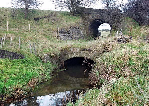 Looking north-east at the double bridge taking the Barnoldswick branch over a farm
track and the New Cut. 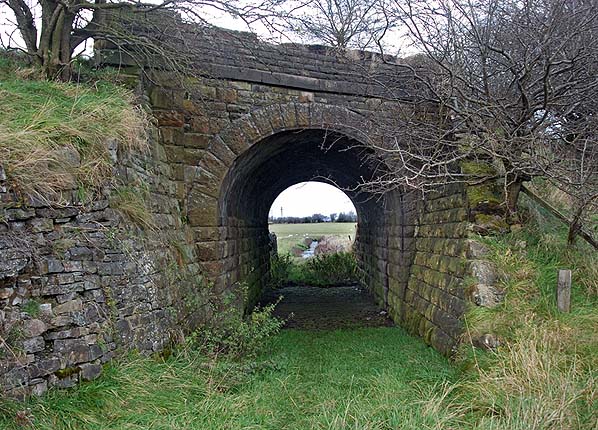
Looking north-east at the double bridge taking the Barnoldswick branch over a farm track and the New Cut. 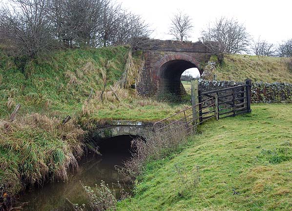 Looking south-west at the double bridge taking the Barnoldswick branch over a farm
track and the New Cut. Click here to look through the arch. 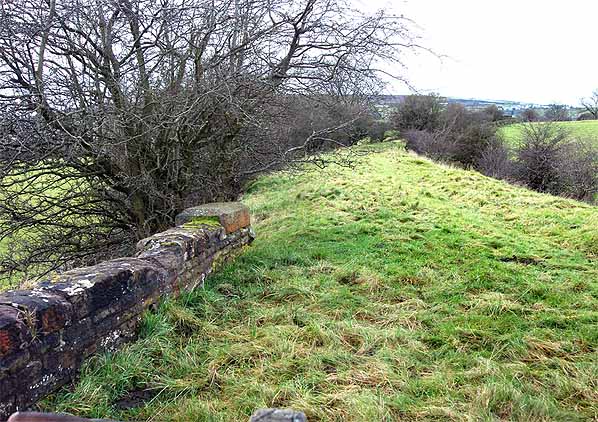
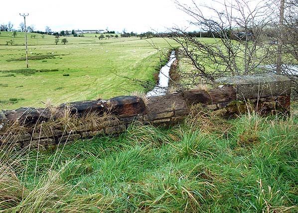
Looking north-west towards Barnoldswick from the double bridge.
The base of the signal box at Barnoldswick Junction is seen in August 2016. This view is looking north-west from the Colne Branch trackbed. The Barnoldswick Branch passed the far side of the box.
Photo by Alan Young
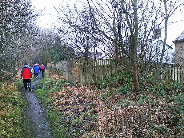
Looking north along the trackbed of the Colne Branch at Sough, between Barnoldswick Junction and Earby station in January 2017. The trackbed is owned by Lancashire County Council and protected as a Transport Corridor under the Pendle Local Plan; it is currently used as a footpath. Some residents with gardens backing onto the route have, with permission, extended them onto the trackbed, but in the event of the railway being reopened the extensions (leased on an annual basis) must be surrendered. The land, right foreground, does not have a garden extension upon it, but several garden extensions, with tall, timber fences, are seen beyond.
Photo by Alan Young
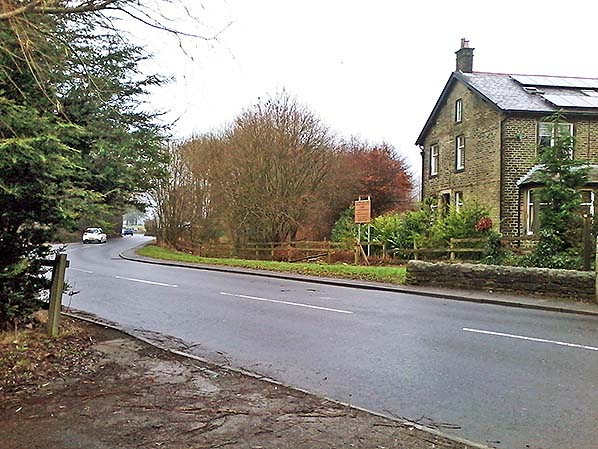
At the north end of Earby the Colne Branch crossed the A56 on the level, requiring the road to make two sharp bends. This view in January 2017 is looking north on the former railway trackbed which continues through the woodland beyond the road. If the railway is reinstated a bridge will be required at this point as modern practice is to avoid the use of level crossings with their inherent delays and danger.
Photo by Alan Young
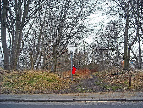 Looking north across the site of the level crossing on Salterforth Road, Earby, in February 2017. Earby passenger station used to stand immediately beyond the crossing, with the much degraded remains of the platforms either side of the footpath. The station was demolished in winter 1976/77, and the site was landscaped by the local Pendle council with saplings – now grown into the mature trees that
line the path. Photo by Alan Young
|

 Home Page