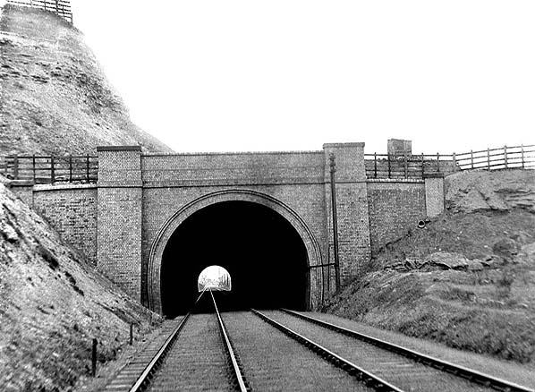
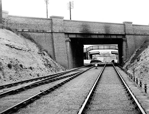
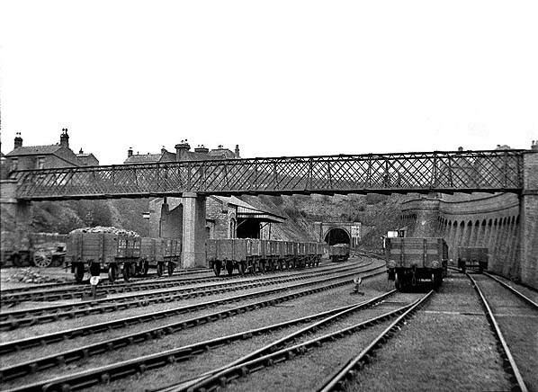
NOTTINGHAM SUBURBAN RAILWAY
Photographic survey of tunnel portals and bridges made in 1904. The survey includes station footbridges.
All photos from Brubaker Imaging

East side of Colwick Road bridge (Bridge No, 4). Demolished. Public footpath runs along track bed from here to Sneinton Boulevard.

South face of Sneinton Boulevard bridge (Bridge No. 5). Some brickwork on the north
side of the bridge survives.

East side of Sneinton Dale bridge (Bridge N. 6). It was always intended that road traffic would only use the central arch. Fragment of the north abutment may survive.

Sneinton Tunnel sooth portal. Buried.

Sneinton Tunnel north portal. Cutting partially filled in, upper half of portal visible. Tunnel
used as a rifle range.

Carlton Road bridge. (No 7). Cutting infilled up to road level on the south side of the bridge but the south wall survives.

Thorneywood station and footbridge. (Bridge 7A). Demolished.

Public footbridge (No. 8) over Thorneywood goods yard. Demolished.

Thorneywood Tunnel south portal. Buried. Overgrown and partially filled cutting survives
but access difficult.

Thorneywood Tunnel north portal. Buried.

The massive skew bridge taking the line over The Wells Road. (Bridge No. 9) Demolished.

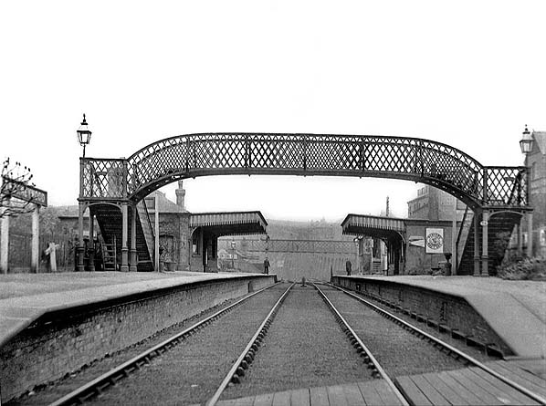
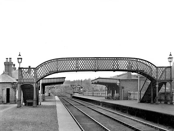
St. Ann's Well station and footbridge (Bridge 9A) looking north along the down platform. Demolished.

Click here to continue the tour


[Source: Nick Catford]


Last updated: Thursday, 18-May-2017 17:22:16 CEST
© 1998-2014 Disused Stations