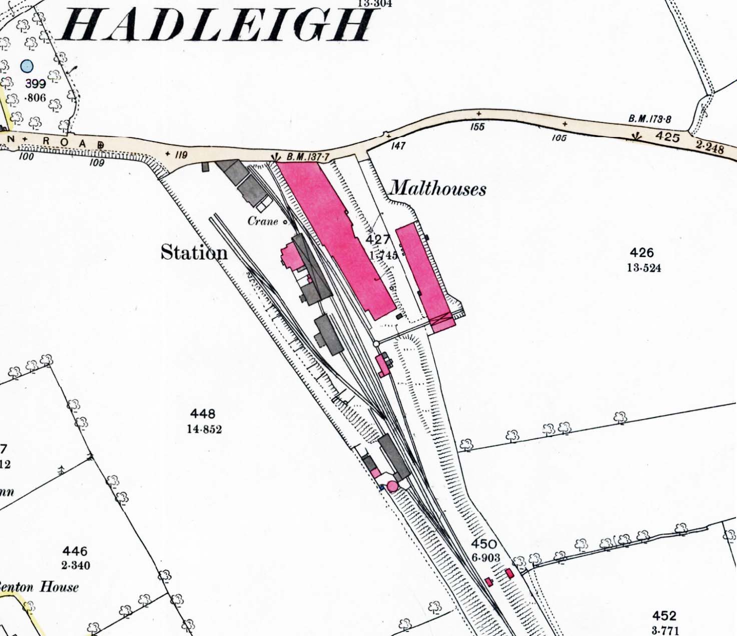
1:2,500 OS map. There are no large scale OS maps that show the original layout of the station. By the time this map was published there had been numerous changes. When the station first opened there was no run round loop, instead a turntable was provides south of the stations for turning locomotives. The station building is shown in pink with the trainshed over the platform line and extending to the south end or one of two goods sheds. North of the station the line curves past the cattle and goods dock and runs alongside Wilson's corn mill terminating at Station Road. A 5-ton capacity crane is shown on the dock with cattle pens at the north end of the dock. A run-round loop runs outside the trainshed. South of the station a siding runs through the two goods sheds, both sheds having a canopy at the front to provide weather protection for road vehicles. From this siding two further parallel sidings run along the west side of the goods yard, one is a carting siding, the other a coal siding. A further short siding runs alongside the southern goods shed. South of these sidings another siding runs through a carriage shed. There are further sidings on the east side of the line, and a second loop runs parallel with the run round loop. After passing through a small engine shed it passes along one side of Wilson's malthouse. Immediately north of the engine shed there is a wagon turntable or turnplate with a siding running at right angles into one of the malthouse buildings. South of the station throat and coloured pink there is a water tank on a brick tower with a well house at the bottom of the embankment.


 Home Page