
Station Name: LOW STREET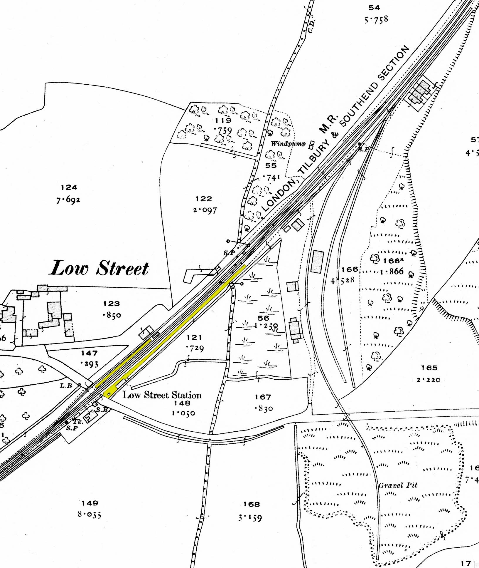 1922 1:2,500 OS map. The two platforms have been coloured, the down platform being noticeably shorter than the up. This map shows the full extent of the sidings. The down siding is a loop running behind the platform and past a goods shed. On the up side one siding runs across Low Street to serve a gravel pit. There are two terraces of railway cottages with three cottages alongside the gravel pit siding and four cottages at the junction with the sidings on the up side.
|

 Home Page