
Station Name: MILE END (GER)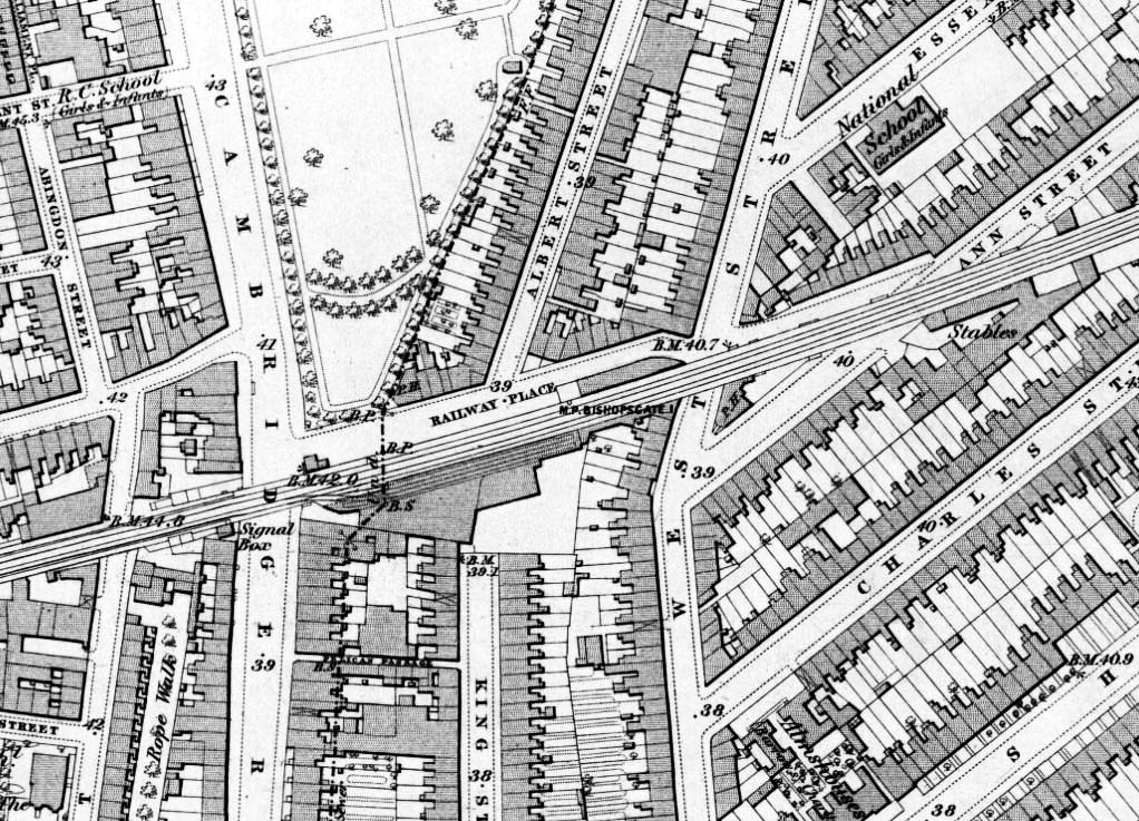
1876 1:2,500 OS map. The survey for this map was made in 1870 which was the year the station closed. What appear to be the ends of narrow platforms are shown on the west side of the bridge. There is no evidence of any platforms on or to the west of the bridge suggesting that anything on that side was quickly demolished. A signal box is shown standing at the London end of the up platform on the west side of the bridge. Two goods sidings are shown on the up side to the east of Cambridge Road.
|

 Home Page