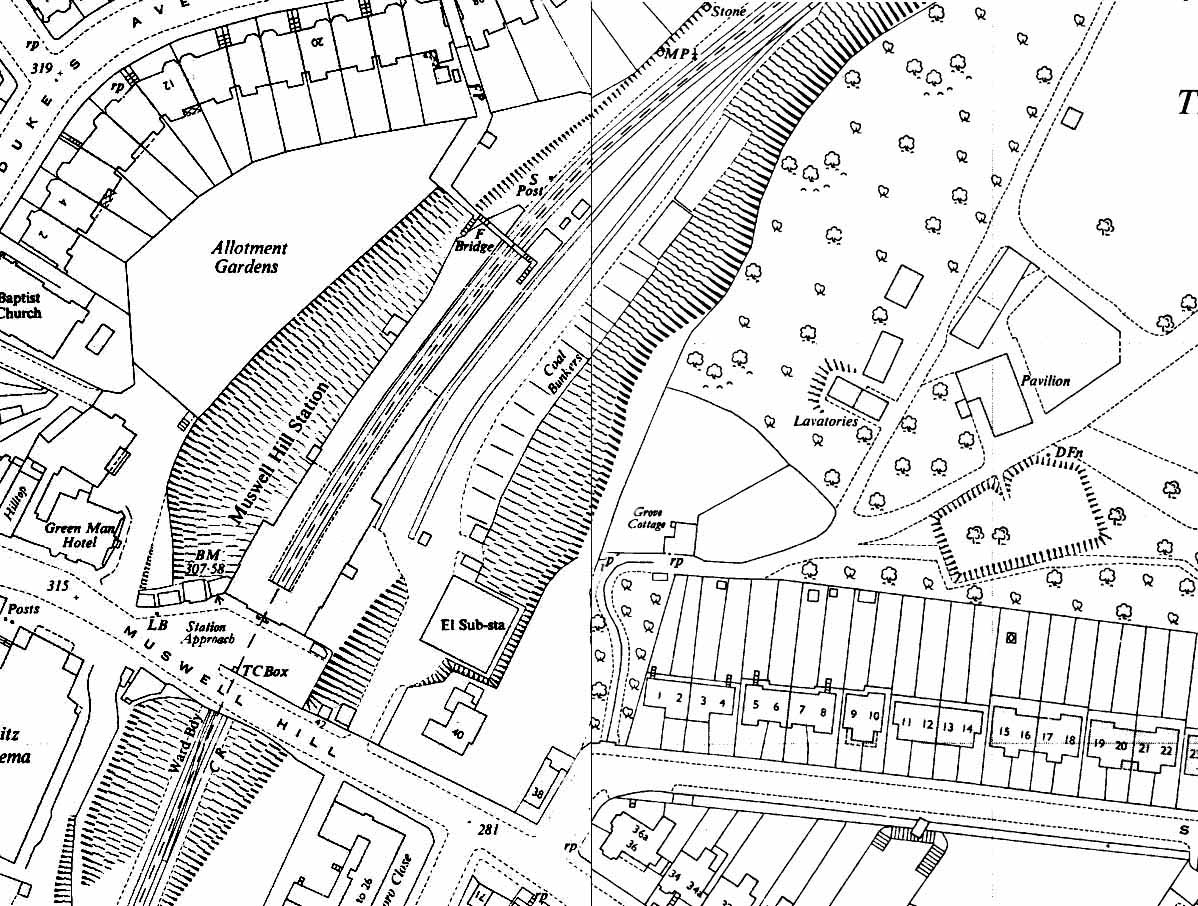
1951 1:2,500 OS Map shows considerable residential development around the station. There is also a secondary entrance to the station along a footpath from Duke's Avenue. At this point there is also a footbridge spanning the platforms. One of the two sidings in the yard has been realigned. A substantial coal depot is also shown. Part of the embankment along the east side of the yard has been excavated to accommodate an electricity sub-station; this is also partly on the site of the weighbridge and office.

 Home Page