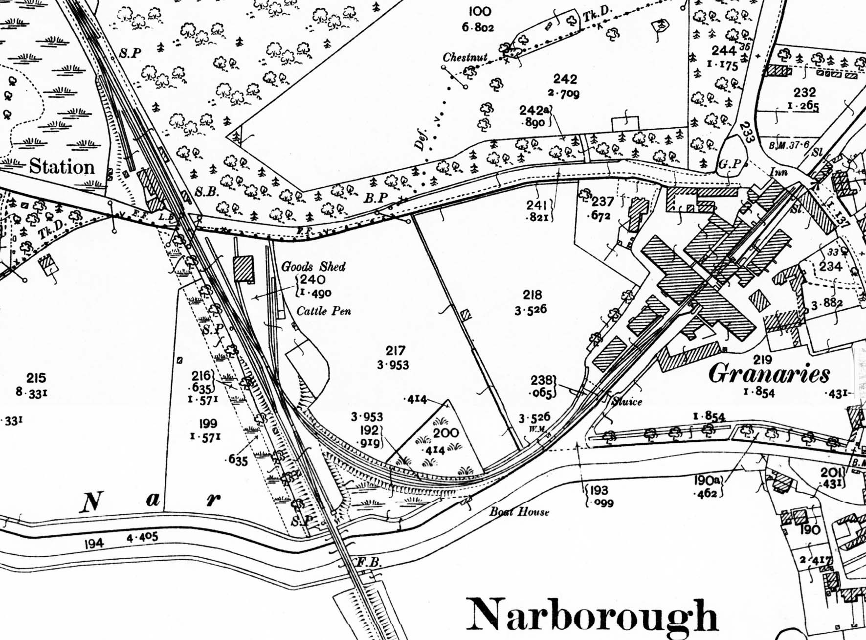
1905 25in OS map. The station and mill at Narborough can be seen on this map, with general goods facilities at each end of the station. A short siding runs behind the up platform at its north end. On the down platform the waiting room is shown with the signal box at the south end of the platform. LB indicates that the station had a post box. The majority of the goods facilities are on the south side of the crossing on the down side. There are four sidings, one running through the goods shed and one running alongside a cattle dock and pen. There was a 1-ton capacity crane somewhere in the yard at this time but it isn't shown on the map. The tightly curved branch to Everett’s mill diverges from the down line.

 Home Page