
Station Name: RAINTON MEADOWS[Source:
Alan Young]
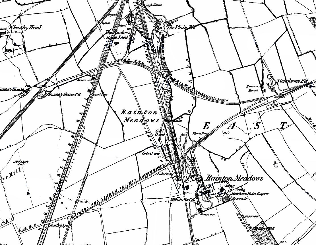
1861 1:10.560 OS map. Rainton Meadows was the southern terminus of the Durham Junction Railway from 1840 until 1844, and the earliest large scale OS map found for the area is this one published in 1861. Based on information from an 1843 coalfield map the site is reckoned to be at, or close to, Meadows Pit. The route of the DJR corresponds to the North Eastern Railway line running almost north-south across the landscape. Given the temporary nature of the station it might have lacked a platform, and any buildings that it possessed might have been erased in the course of mining developments shown in the vicinity.
|
 Home Page