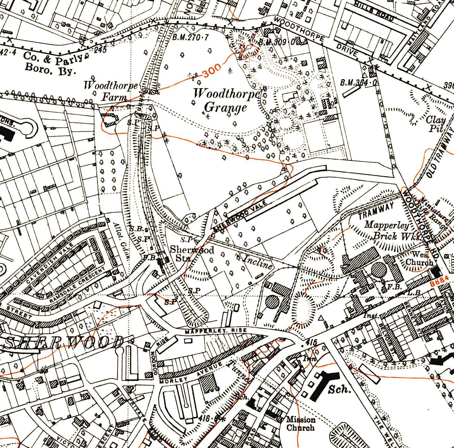
1947 1: 10,560 (6") map showing Sherwood station and the surrounding area. There has been some residential development to the west of the station otherwise little has change. Additional sidings are show; these were in place but not
shown on the 1901 map.

 Home Page