BRIEF HISTORY
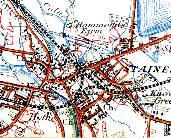
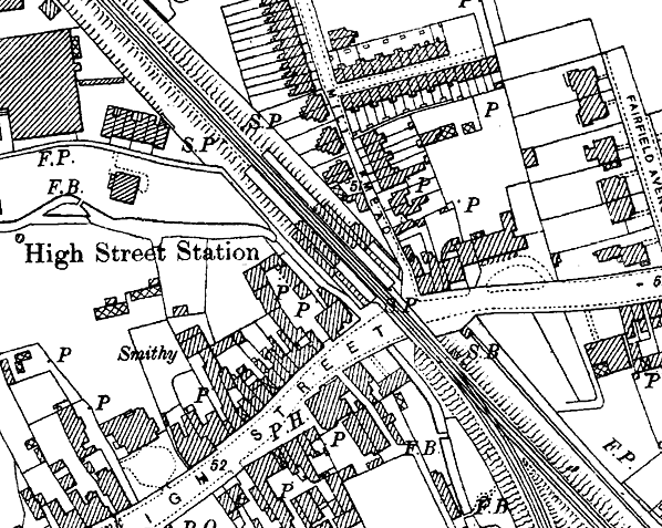
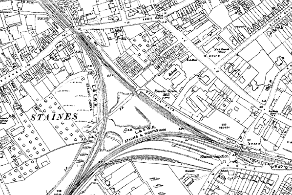
Staines High Street station was opened in 1884 by the London & South Western Railway (LSWR) and closed just 32 years later, in 1916. It was located at the western end of a double-track railway triangle with Staines Junction station (Staines Central from 1923) at its eastern end and the line to Egham at the south.
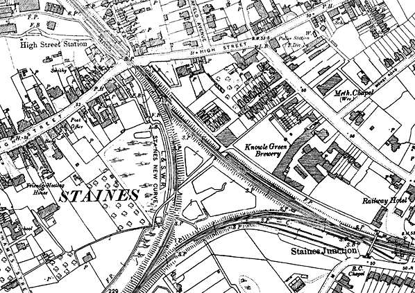
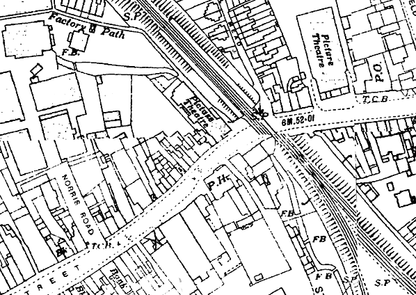
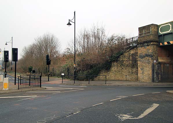
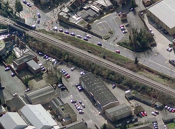
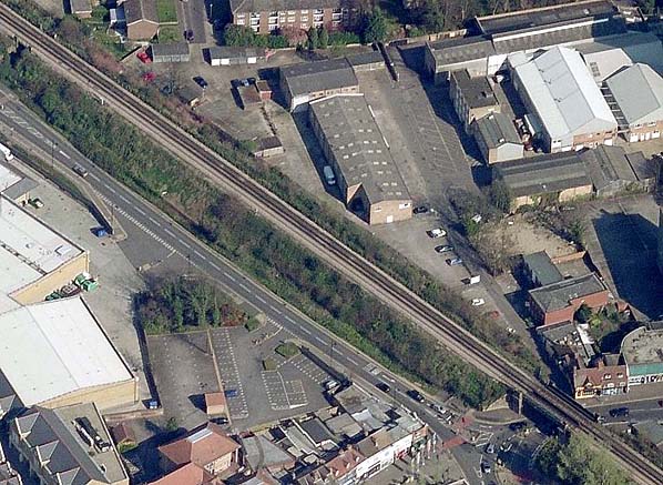
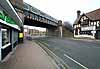
The station - which was more of a halt than a proper station - was built on an embankment and consisted of two wooden platforms on wooden stilts some 20 ft above street level. Steps to the up and down platforms led up from separate sides of the 'Iron Bridge' - the up side steps from Mill Mead and the down side steps from Factory Path (now Mustard Mill Road).
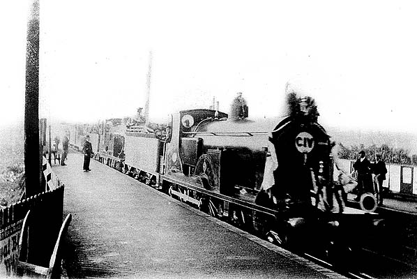
Details of any platform buildings, shelters, or other structures and fittings are uncertain as no photographs of the station have been found (although the pictures below is labelled Staines High Street, Spelthorne Museum are unsure).
Between Staines High Street and Staines Junction stations - to the north of the triangle - is Station Path which provided a pedestrian link between the two stations, and is still in use today between the present Staines station (formerly Staines Junction/Central) and the High Street.
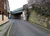
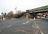
Sandwiched between Staines High Street station and the railway triangle is the 'Iron Bridge', which crosses Staines High Street and is used by trains on Waterloo to Windsor & Eton Riverside services.
 |
Staines High Street station originally had its own signal box which controlled the nearby triangle junction. Together with the other two triangle signal boxes it was replaced in 1904 with just one signal box called Staines Junction, in the middle of the triangle. This 1904 LSWR Type 4A box operated points and signals via the LSWR Low Pressure Pneumatic system of control |
rather than conventional levers; a feature of the system was automatic distant signals which changed from ‘caution’ to ‘clear’ once all the stop signals had been cleared from the signal box.
Staines Junction signal box was, at some time, renamed Staines West, and this - together with Staines East box (to the east of what was, by then, Staines Central station) - was itself subsequently replaced with a new Southern Railway box called Staines Central.
The triangle ceased to have this layout in 1965 when the West Curve - also known as Staines Chord - was dismantled
PASSENGER TRAVEL
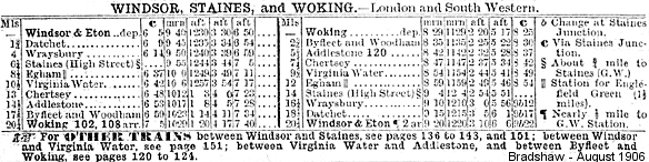
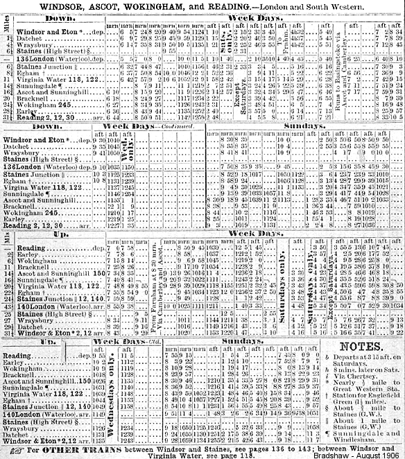
Few passenger trains appear to have called at Staines High Street. Although the line saw regular trains between Waterloo and Windsor, it seems that none stopped at Staines High Street in the latter days of the station's existence. The 1914 LSWR timetable shows Aldershot to Windsor trains stopping at Staines High Street every three hours on Mondays to Saturdays, giving four trains a day in each direction: in reality this was the same train-set going to-and-fro all day.
There were LSWR and SR designated locomotive headcodes for Windsor to Ascot and Windsor to Woking plus, in 1944, a set of different headcodes for excursions from Windsor to Dover, Hastings or Bognor Regis.
GOODS
There were no sidings at the station, all goods being handled by Staines Junction goods yard and shed. Just west of Staines High Street, however, a trailing junction connected with the down line into the Staines Linoleum complex.
THE FUTURE
As part of the first draft of the proposed Airtrack rail link from Waterloo/Reading/Guildford to Heathrow Airport, a new station at Staines High Street was included; later proposals no longer mention this, however and Airtrack has now been shelved due to lack of finance..
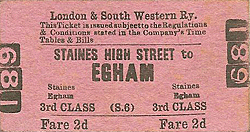
Ticket from Michael Stewart, Bradshaws from Chris Hind
See also Staines West
|

west_signal_box.jpg)

 Home Page