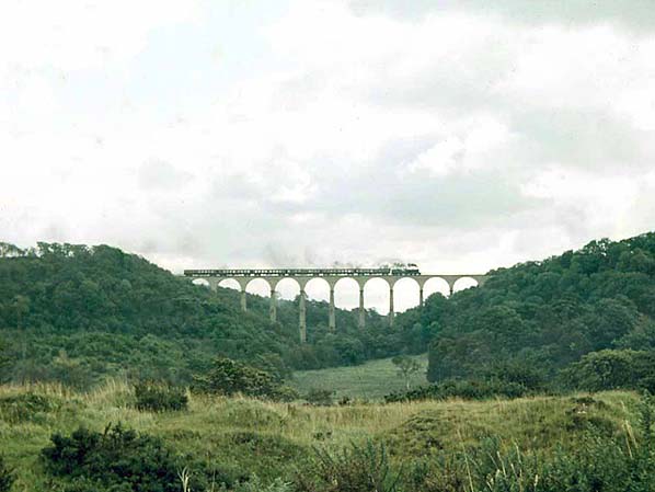
Stanhope & Tyne Railway
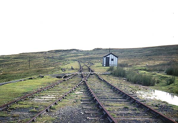
Weatherhill
Loop near Durhills Railhead. The water column seen in the next
picture is in the distance to the right of the 2nd power line pole. Click here to see the same view in 2006 Photo by Roy Lambeth 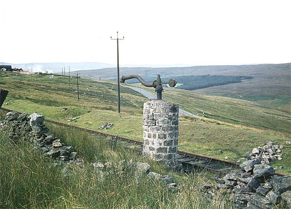 After
the inclines down to Stanhope had closed and been lifted the line
terminated at Durhills Sand Quarry where the Weatherhill Incline winding
house was sited. Just short of Durhills there were two passing loops
and on the one furthest from the end of the line was this water column.
The end of the line with the quarry buildings can be seen top left
corner. (1968)
Photo by Roy Lambeth 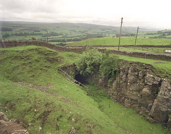 Hog
Hill Tunnel on the Crawleyside Incline in June 1997
Photo by Nick Catford 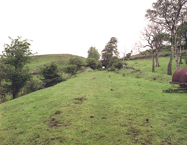
Looking up the
Crawleyside Incline in June 1997 Click
here for more pictures of the Stanhope
& Tyne Railway
 Home Page Home Page
|