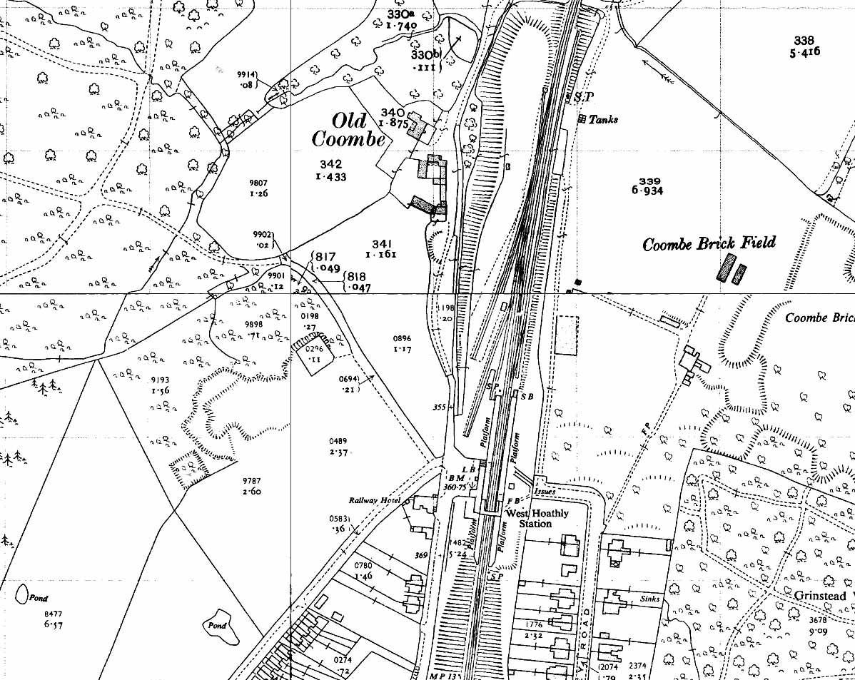
1956 1:2,500 OS map shows that little has changed at West Hoathly since the station opened. By this date the goods yard had closed. One of the sidings has been shortened and there is now a headshunt at the north end of the yard. The dock on the down side has been lengthened. The brick works to the west of the station has closed and there has been some residential development to the south-west of the station. ‘LB’ is shown on both maps by the station building to indicate that station has a Post Office letter box. A weigh bridge, usually sited at the entrance to the yard, is not shown on either map. The yard did have a 5-ton capacity crane; its position is not indicated on either map but it was to the west of the westernmost siding.

 Home Page