Notes: Winwick Quay was situated on the Warrington & Newton Railway (W&NR) which was authorised on 4 May 1829 and opened on 25 July 1831. The W&NR was a 4.25 mile branch line that connected the Liverpool & Manchester Railway (L&M) at Newton Junction (later to become Earlestown) to Warrington. The W&NR was promoted by a group of Warrington businessmen who saw the opportunities that would arise from having a connection to the L&M. George Stephenson, Engineer to the L&M, undertook the survey for the W&NR.
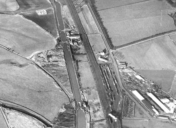
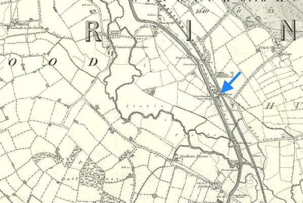
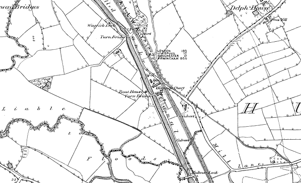
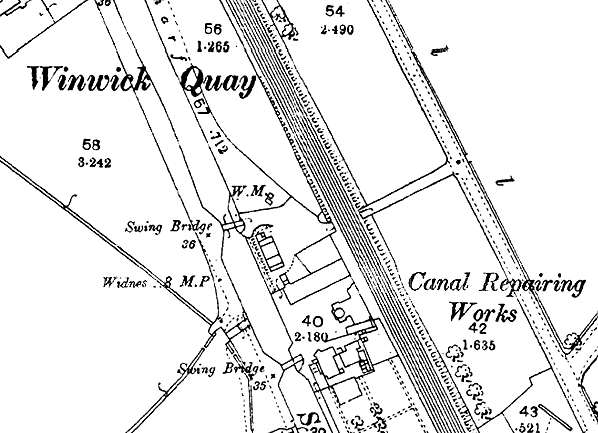
 Winwick Quay opened sometime after July 1831 but before 4 July 1837. It was located to the east of the Sankey Canal (opened 1757) at a point where there was a canal company repair yard and a mooring area called Winwick Quay. Other than its location, very little is known about the station. It is likely that it was a very basic affair consisting only of a small cottage-like building at track level. Winwick Quay opened sometime after July 1831 but before 4 July 1837. It was located to the east of the Sankey Canal (opened 1757) at a point where there was a canal company repair yard and a mooring area called Winwick Quay. Other than its location, very little is known about the station. It is likely that it was a very basic affair consisting only of a small cottage-like building at track level.
Passenger services were operated by the L&M and would have run to Warrington, Liverpool and Manchester.
The L&M was a success from the start and led to a spate of railway building. One of the early schemes that followed in its wake was Britain’s first trunk line, the Grand Junction Railway (GJR). The GJR had behind it many of the same personalities as the L&M. The GJR was authorised on 6 May 1833 to build a 82.5 mile line to connect the L&M to Birmingham. From the start the intention was to connect to the W&NR at Warrington, but arguments between the two companies almost resulted in the GJR building another route. After much discussion the W&NR agreed on 4 February 1835 to be absorbed by the GJR on the basis of a one-for-one share exchange and a guarantee of 4% interest until the GJR declared dividends. This was confirmed by an Act of Parliament of 12 June 1835.
The GJR opened on 4 July 1837 and from that date Winwick Quay was located on a main line. In all likelihood it was served only by local trains. Being in a remote location Winwick Quay proved to be unremunerative and it was closed in November 1840. A suggested date for the last day of services is Saturday 28 November 1840.
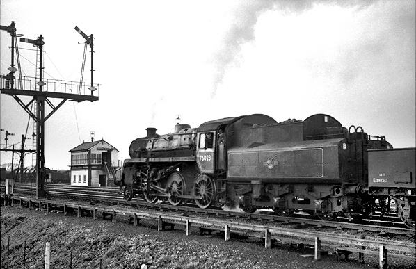
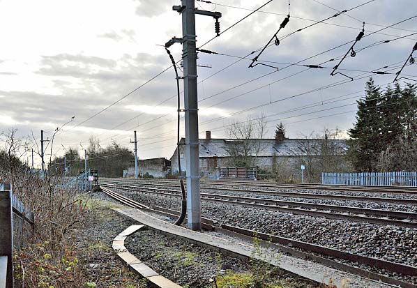
The line through Winwick Quay went on to become part of the West Coast Main Line.
Tickets from Michael Stewart route map by Alan Young.
Sources:
- Britains First Trunk Line - The Grand Junction Railway - Norman W Webster - Adams & Dart 1972
- Railway Passenger Stations in Great Britain - A Chronology - Michael Quick - RCHS 2009
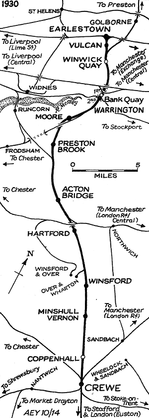
To see other stations on the Grand Junction Railway between Earlestown and Crewe click on the station name: Vulcan Halt, Warrington Dallam Lane, Warrington Bank Quay (1st), Moore, Preston Brook, Minshull Vernon and Coppenhall
The 8D Association - Dedicated to promoting the history of South Lancashire and North Cheshire railways. Web Site |


 Home Page