
Station Name: BROADLEY[Source:
Alan Young]
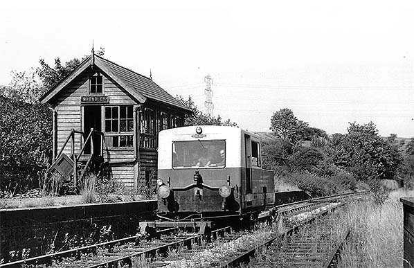
At Broadley on 28 August 1961 a self-propelled Matisa track inspection trolley is seen beside the disused signal cabin. The Matisa was no doubt looking for 'drop joints' and monitoring the general state of the track. British Railways bought 13 of these track geometry recording trolleys from Matisa of Switzerland between 1957 and 1967. They worked over all passenger lines and selected freight-only lines at intervals of between three and twelve months depending on the line classification. The trolley recorded directly onto a paper roll at up to 15mph on plain line. When not recording, it could run under its own power at up to 40 mph. They became known also as the Neptune trolleys after a computer system was added to complement the paper trace.
Photo by Ian G Holt 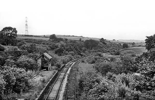 Broadley station, looking north from the road bridge in August 1963, when the Facit Branch was open only to goods traffic. By this time the station building has been demolished; it stood on the near side of the derelict signal cabin. Although Broadley station closed to all traffic in 1952 and the goods yard sidings had been removed, the loop is still in place but reverting to nature. In the month that this photograph was taken the railway’s terminus at Facit was closed and the line was cut back to Whitworth.
Photo by Ben Brooksbank 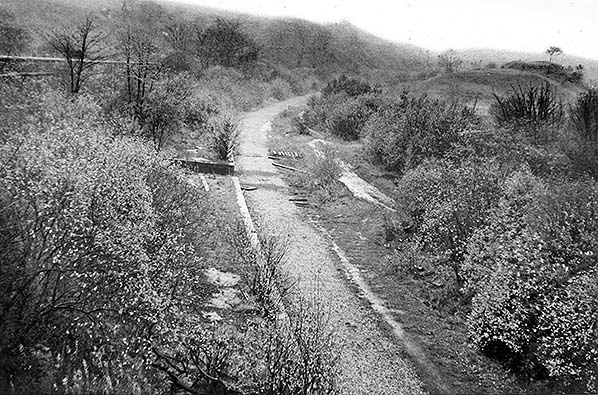
The line through Broadley station closed to all traffic in August 1967 and by November 1970, the date of this photograph, the rails had been recovered. The single platform is seen in this northward view from the road bridge, and the small goods yard was in the area to the right of the trackbed. The gap in the platform is where the station’s new signal box was installed in 1915.
Photo
by John Mann
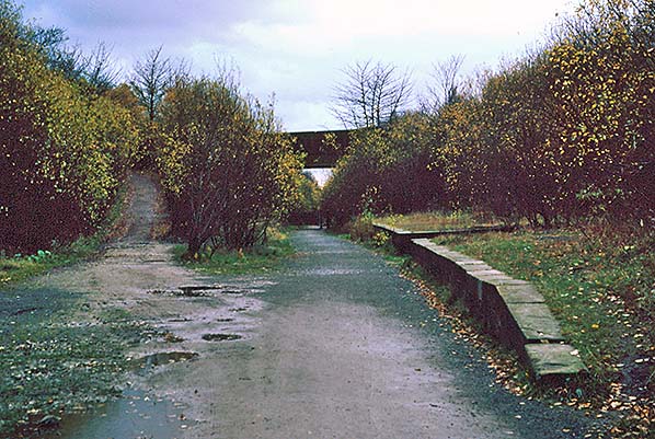
The single platform at Boadley station is seen in November 1986 looking south. The sloping track to the left formerly gave access to the goods yard, but it now allows pedestrians to join the Healey Dell Nature Trail which follows part of the former Facit Branch trackbed.
Photo by Alan Young 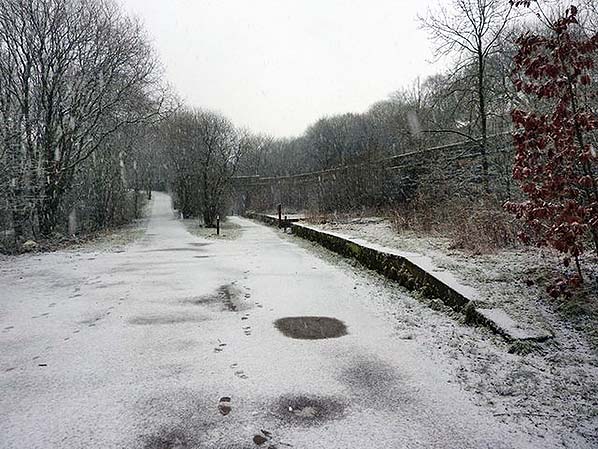
Broadley station platform and the trackbed of the Facit Branch are seen under a light dusting of snow in February 2010. Since 1972 this part of the former railway route has been adopted as the Healey Dell Nature Trail. The sloping track to the left gave access to the station’s goods yard and now provides a walkway between the road that crosses the bridge and the nature trail.
Photo by Alexander Kapp, reproduced from Geograph under creative commons licence 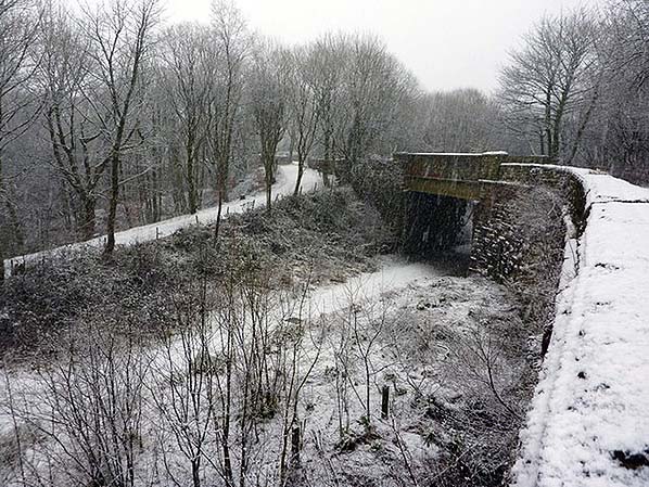 Station Road bridge at Broadley, looking south in February 2010. Far left, the sloping track led to the station’s goods yard, but today it provides access to the Healey Dell Nature Trail. The trail follows the Facit Branch trackbed which passes under the bridge. The single platform of the former Broadley station is to the right of the trackbed.
Photo by Alexander Kapp, reproduced from Geograph under creative commons licence 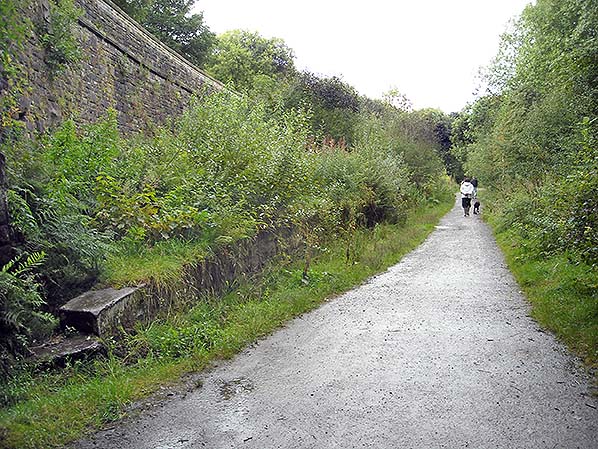
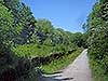
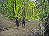
The overgrown platform of Broadley station is seen on the left in this northward view. Healey Dell Nature Trail attracts many visitors as on this afternoon in late August 2010.
Photo
by Alan Young
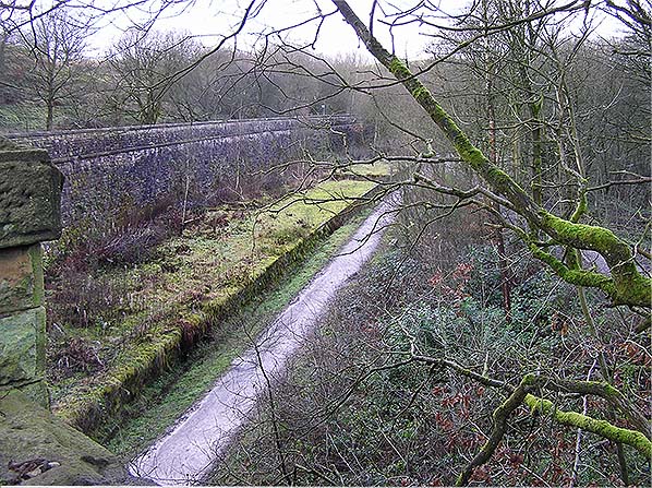
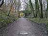
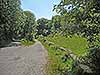
Looking north from the overbridge towards the platform of Broadley station in January 2012. The track to the right formerly provided access to the station’s goods yard but is now used to reach the railway trackbed which forms the Healey Dell Nature Trail.
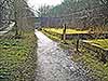
Photo by Bob Hayter 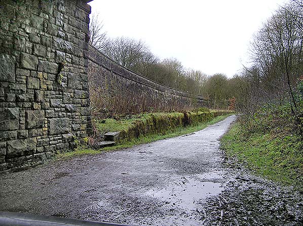 The platform of Broadley station, looking northwards under Station Road bridge in January 2012. The trackbed of this section of the former Rochdale to Bacup railway has been designated the Healey Dell Nature Trail since 1972, five years after the final freight trains ran on the route south of Whitworth
Photo by Bob Hayter 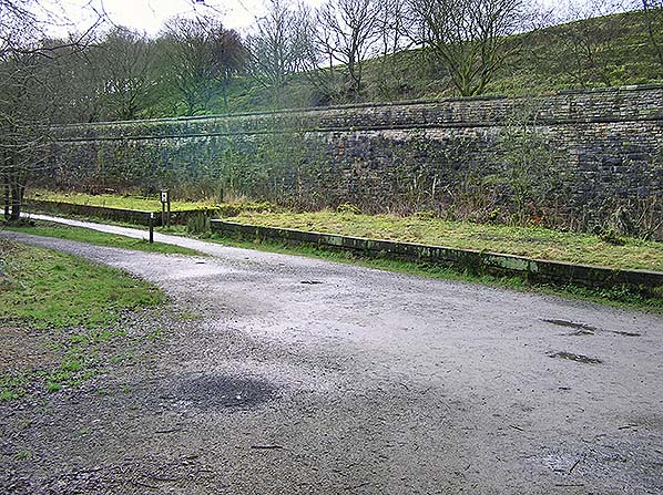
The platform of Broadley station, looking south-west in January 2012. The conspicuous gap in the platform was created to accommodate signalling equipment when the new 14-lever cabin was constructed in 1915. The earlier cabin stood towards the far end of the platform.
Photo
by Bob Hayter
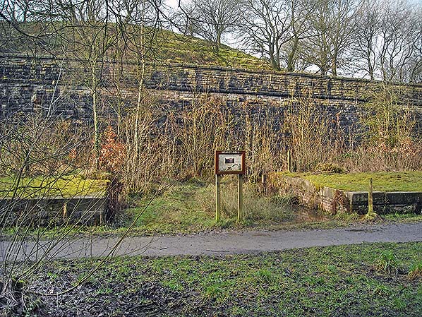
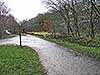
Broadley station looking west in February 2016. Behind the information board a large brick-lined gap is seen in the stone-built platform. This was created to accommodate the new signal box
and its rodding in 1915 Photo by Alan Young 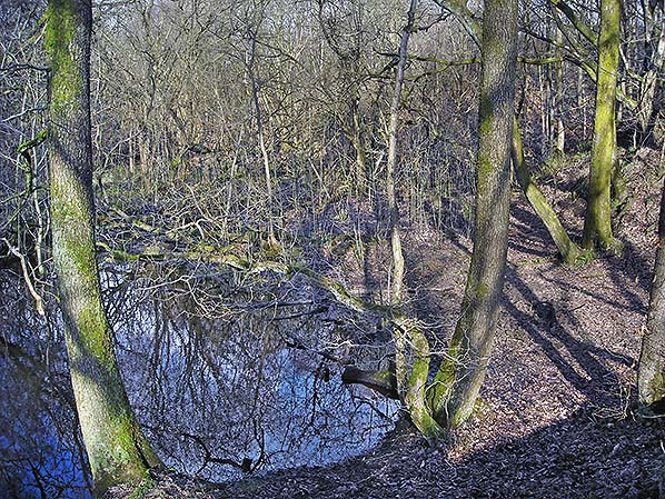
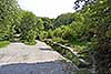
Looking north in February 2016 this is the site of the World War 2 sidings constructed just south of Broadley station on the east (up) side of the single line. They were built to serve an explosives factory in the valley below. The factory and sidings were closed shortly after the end of the war. During a particularly wet season the hollowed-out area formerly occupied by the sidings is partially flooded.
Photo by Alan Young 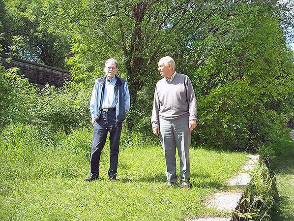 Richard Greenwood (left) and Ian Holt (right) took most of the late 1950s and 1960s photographs used to illustrate this article on the Facit Branch and provided valuable information about the history of the line. They are standing on the platform of the disused Broadley station in June 2016.
Photo by Alan Young
Click on thumbnail to enlarge
|
 Home Page