
BURY EASTSIGNAL BOX[Source:
Paul Wright and Alan Young]
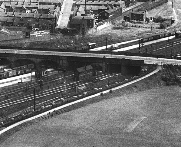 Bury East signal box seen from the air in 1933.
Copyright photo from Britain from Above with permission 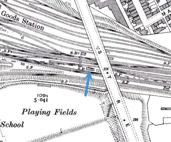 Bury East signal box shown on a 25-inch scale map from 1928. 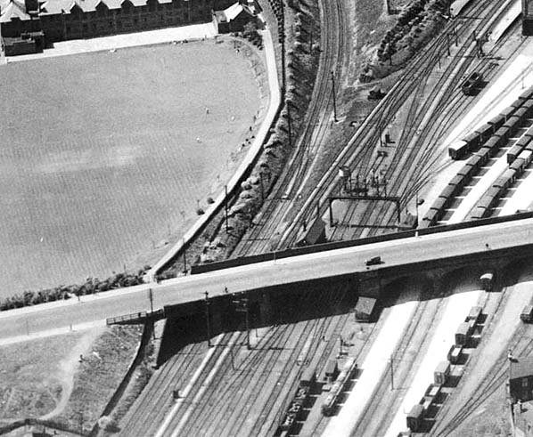 In this aerial view from 1934 the roof of the Bury East signal box can be seen adjacent to Market Street Bridge. The Bury Loop line is to the left and the goods yard is to the right. In this aerial view from 1934 the roof of the Bury East signal box can be seen adjacent to Market Street Bridge. The Bury Loop line is to the left and the goods yard is to the right.Copyright photo from Britain from Above with permission
|

 Home Page