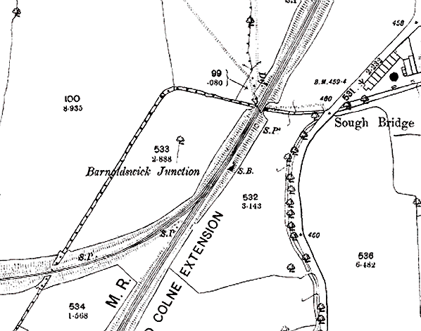
1892 1:2,500 OS map. South Bridge is just to the north of the junction. The junction signal box is seen on the east side of the line just before the junction. The double bridge over the
New Cut is seen bottom left. The signal box was later moved to a position between the two
lines at the junction.
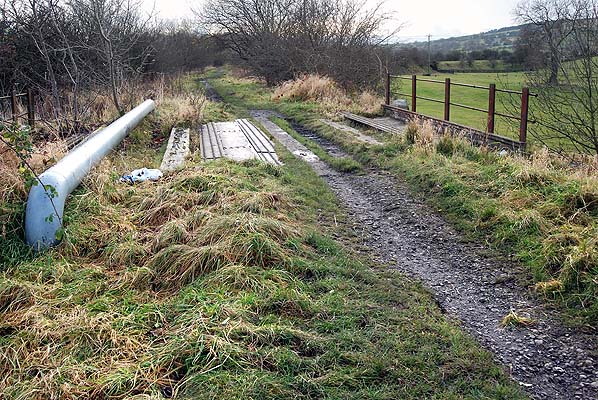
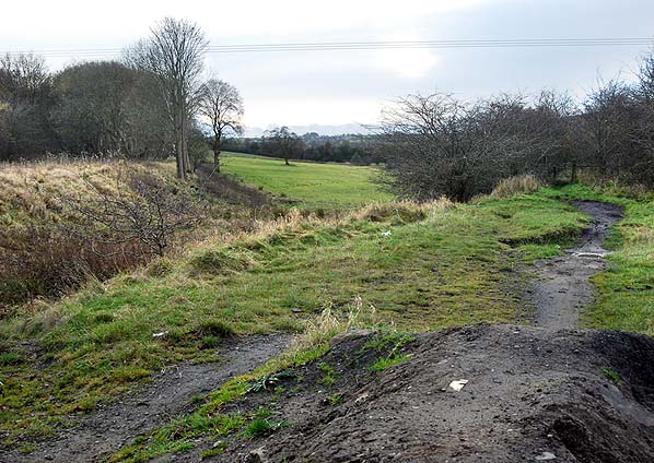
Looking south from Sough Bridge. The embankment for the Barnoldswick branch is seen top right.
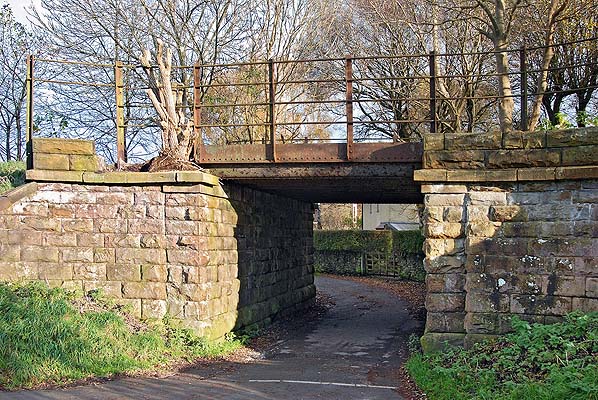
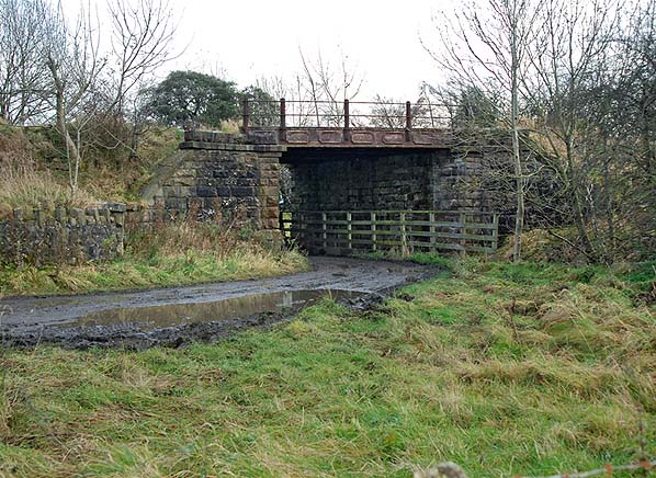
The west side of Sough Bridge. The bridge took the main line over a farm track and the New Cut which is to the right of the fence.
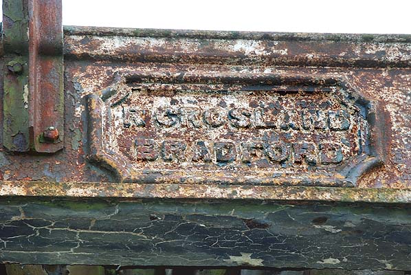 Maker's plate on South Bridge.
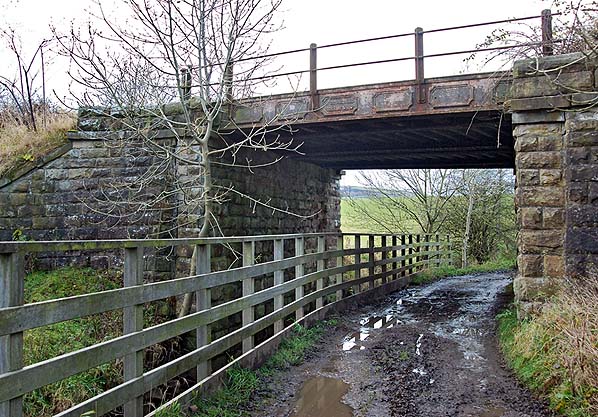
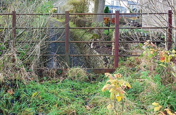
East side of Sough Bridge.
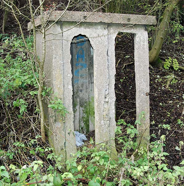
Platelayers' hut close to Barnoldswick Junction.
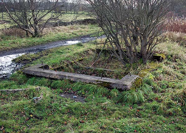
Base of Barnoldswick Junction signal box between the two lines at Barnoldswick Junction.
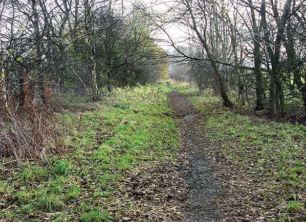
 The two routes diverging; Barnoldswick line to the right, Colne line to the left
Click here for more pictures


 Home Page