
Station Name: RANGES PLATFORM
|
| Date opened: | 1941 or 1942 |
| Location: | South side of a long warehouse in Avenue E East, immediately east of its junction with Street 5. |
| Company on opening: | Thorp Arch Military Railway |
| Date closed to passengers: | 1957 |
| Date closed completely: | c July 1958 |
| Company on closing: | Thorp Arch Military Railway |
| Present state: | Demolished - no trace remains |
| County: | Yorkshire |
| OS Grid Ref: | SE452461 |
| Date of visit: | 12.4.2013 |
Notes: Ranges Platform was one of four stops on the Thorp Arch circular railway. It was opened in 1941/2 during the construction of the Royal Ordnance Factory. The platform was initially used by construction workers and then by the regular workforce which, at its peak, reached 18,000. During WW2 the factory operated 24 hours a day with three shifts. Ranges, and the three other platforms, allowed workers to disembark close to their actual place of work. Ranges consisted of a single platform constructed of earth and cinders and faced with old sleepers. It had electric lighting, a nameboard and two lines of brick waiting shelters. It was sited at the south-east side of the factory site between the perimeter road and the ranges. Two of the platforms on the Thorp Arch circular railway were brought into use in November 1941, whilst the other two were used from 19 April 1942. The regular passenger service ceased in 1957. The ‘Roses railtour’ called at Ranges Platform on 8 June 1958; this was probably the last passenger train to use the platform. The track was lifted c1959 although the trackbed is still walkable through the site of the platform. To see other stations on the Thorp Arch Military Railway |
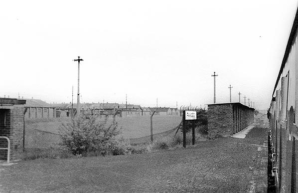
Copyright photo from Stations UK
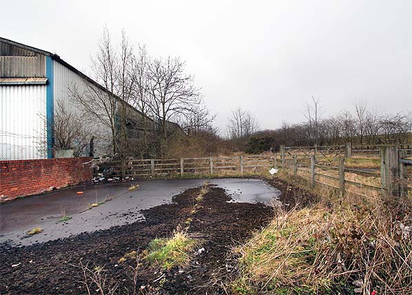
Photo by Nick Catford
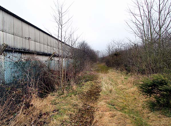
Photo by Nick Catford

|
 Home Page
 | Last updated: Monday, 05-Feb-2018 16:56:42 CET |
© 1998-2013 Disused Stations
|