
Station Name: BEULAH HALT[Source: Nick Catford]
1.jpg) Looking west at the site of Beulah Halt in July 1974. No photos of Beulah Halt are known to exist.
Photo by John Mann 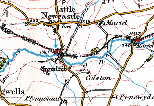 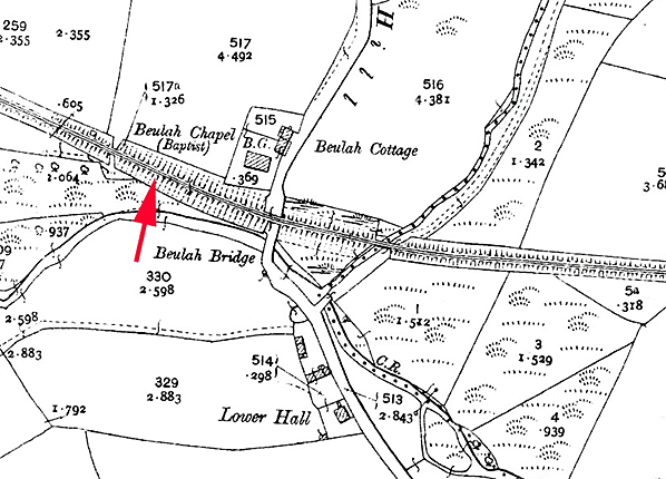 As the halt was open for only nine years, it was not shown on any large scale Ordnance Survey maps as no such maps were published during its existence. Its approximate position is indicated on this 1907 1:2,500 map. As the halt was open for only nine years, it was not shown on any large scale Ordnance Survey maps as no such maps were published during its existence. Its approximate position is indicated on this 1907 1:2,500 map.2.jpg)
The bridge abutments on Beulah Hill looking north in September 2016. The halt was to the left.
Photo by Roy Lambeth 3.jpg)
Beulah Chapel in September 2016. Although it served the small village of Little Newcastle the halt was named after the chapel which is adjacent to the railway line on Beulah Hill.
Photo by Roy Lambeth 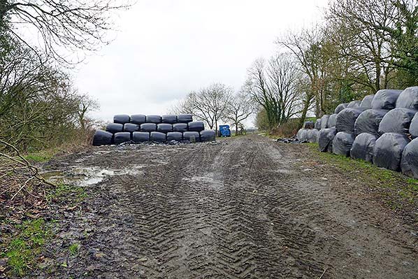
Looking north-west at the site of Beulah Halt in February 2017.The course of the old railway is to the right hand side of the blue trailer.
Photo by Richard Martin 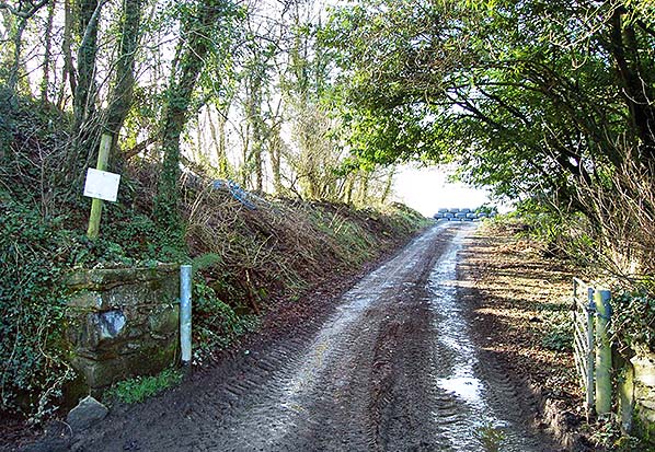
Looking up the track from the north side of the bridge to the west where the halt would
have been located. Photo by Richard Martin 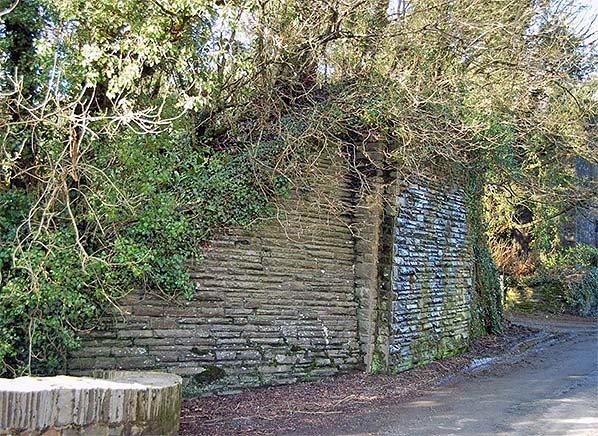
The west abutment of the Beulah Hill bridge in February 2017. The halt was to the left.
Photo by Richard Martin 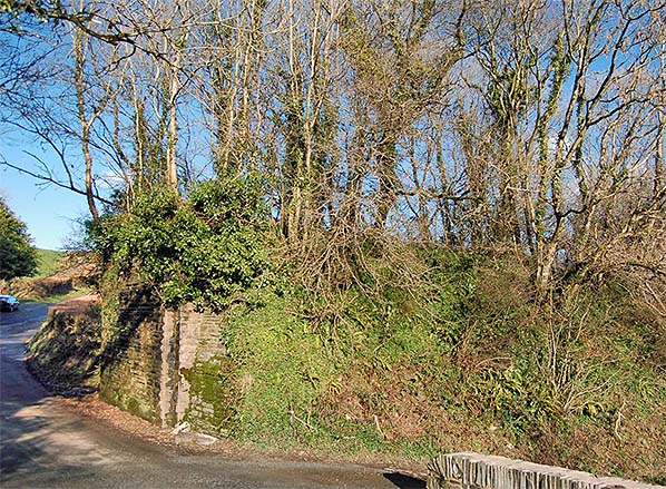 The east abutment of the Beulah Hill bridge and embankment in February 2017.
Photo by Richard Martin 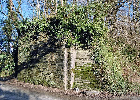
|
 Notes: As road transport became more popular throughout West Wales a number of halts were opened in an effort to boost passenger traffic. Four halts were opened on the North Pembrokeshire branch.
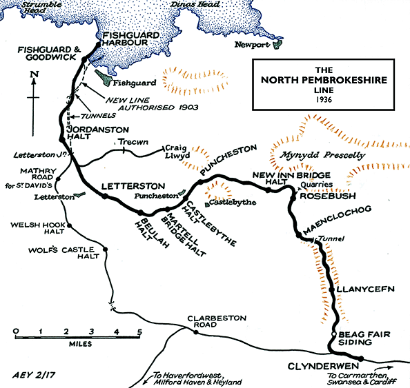

 Home Page