
Station Name: CASTLEBYTHE HALT[Source: Nick Catford]
1.jpg) 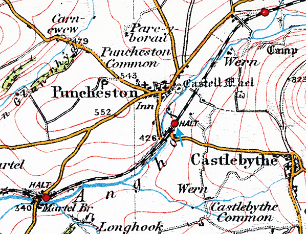 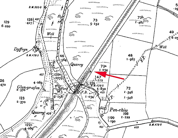 As the halt was only open for nine years, it was not shown on any large scale Ordnance Survey maps as no maps were published during its existence. Its approximate position is indicated on this As the halt was only open for nine years, it was not shown on any large scale Ordnance Survey maps as no maps were published during its existence. Its approximate position is indicated on this1907 1:2,500 map. 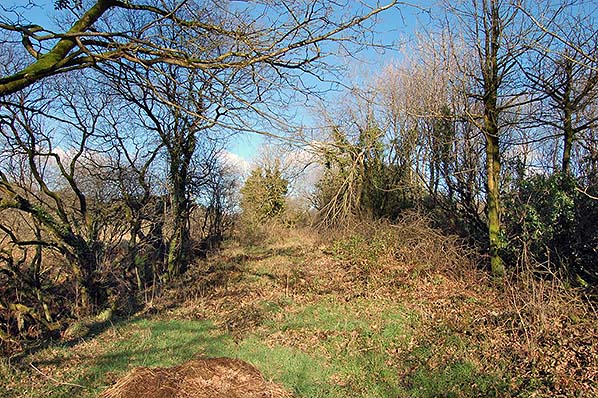 Looking north at the site of Castlebythe Halt in February 2017. The bridge is behind the photographer. Looking north at the site of Castlebythe Halt in February 2017. The bridge is behind the photographer.Photo by Richard Martin 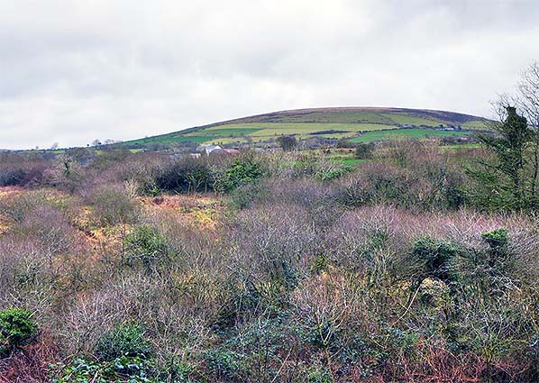
The course of the old railway looking east from the road as it climbs up towards Puncheston. The course of the old railway can be seen crossing the centre of the picture; the site of the halt is in the clump of trees in the centre.
Photo by Richard Martin 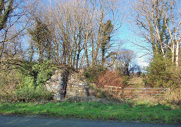
The east abutment of the C3009 bridge in February 2017. The halt was to the right. The embankment has been partially demolished for farm road-making.
Photo by Richard Martin 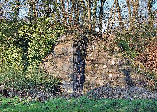
The east abutment of the C3009 bridge in February 2017. The halt was to the right.
Photo by Richard Martin
|
 Notes: As road transport became more popular throughout West Wales a number of halts were opened in an effort to boost passenger traffic. Four halts were opened on the North Pembrokeshire branch.
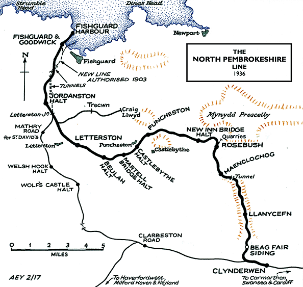

 Home Page