Notes: xxxxxxxxxxxxxxxxxxxxxxxxxxxxxxxxxxxxxxxxxxxxxxx.
CLICK HERE FOR A DETAILED HISTORY OF BRIDGE END STATION
Tickets from Michael Stewart. Timetables from Jim McBride and route map by Alan Young
Sources:
- Bell D & Flanders S The Londonderry & Lough Swilly Railway - A Visitors Guide(County Donegal Railways Restoration Society, xxxx)
- Flanders S, S Londonderry & Lough Swilly Railway - An Irish Railway Pictorial(Midland Publishing, 1997)
- Johnson, S Johnson's Atlas & Gazetteer of The Railways of Ireland (Midland Publishing, 1997)
- Mahon, G Irish Railway Record Society Journals - 1954 to 1985 (Irish Railway Record Society)
To see the other disused
stations between Londonderry Middle Quay and Buncrana click on the station
name: Londonderry Middle Quay,
Londonderry Graving Dock, Pennyburn Halt, Gallagh Road, Harrity's Road, Burnfoot, Tooban Junction, Inch Road, Lamberton's Halt, Fahan,
Beach Platform, Golf Platform and Buncrana
See also: Trady and Farland Point
|

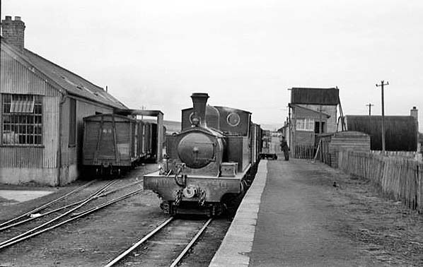 1940s.
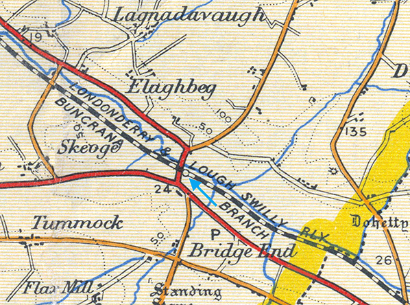
 xxxxxxxxxxxxxxxxxxxxxxxxxxxxxxxxxxx.
 xxxxxxxxxxxxxxxxxxxxxxxxxxxxxxx.
 2016.
2016.
 Home Page